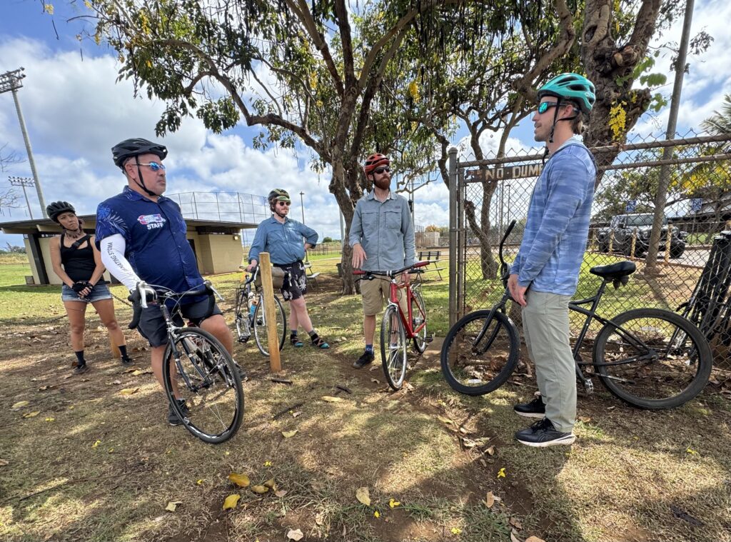
Earlier this summer, HBL staff spent the day cycling along the North Shore of Oʻahu with Kaleohano Farrant of the North Shore Community Land Trust. The NSCLT is the driving force behind the North Shore Trails project, a program started in 2015 that promotes a system of multi-use trails along the North Shore connecting Kaʻena Point to Kahuku town.
The North Shore Trails project aims to “enhance the connectivity of communities by creating, maintaining, and improving a system of trails for walking, bicycling, and other modes of transportation throughout the North Shore.” In doing so, it seeks to “restore ancestral pathways along this unique coastline in a way that will honor the kūpuna (ancestors) of this region and cultivate new generations of caretakers within our communities.”
This interactive overview of the North Shore Trails project is a great starting point for anyone learning about the cultural history, purpose, and goals of this project.
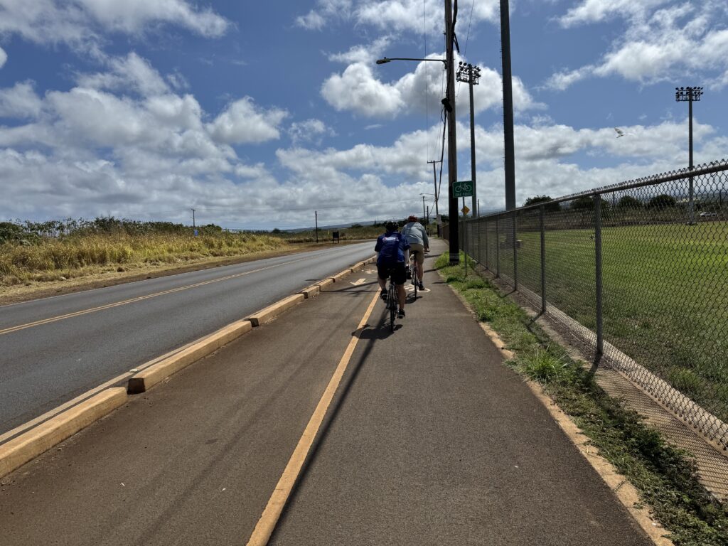
Right alongside the elementary school, this protected bike lane on Goodale Ave offers a safe route for cyclists going between Waialua and Haleʻiwa. It is frequently used by students and parents commuting to school during the school year.
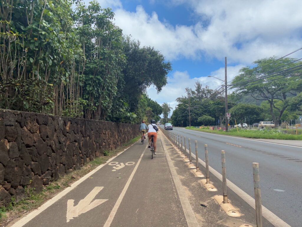
The Waialua Beach Road Path is a similar protected bike lane that also offers shade.
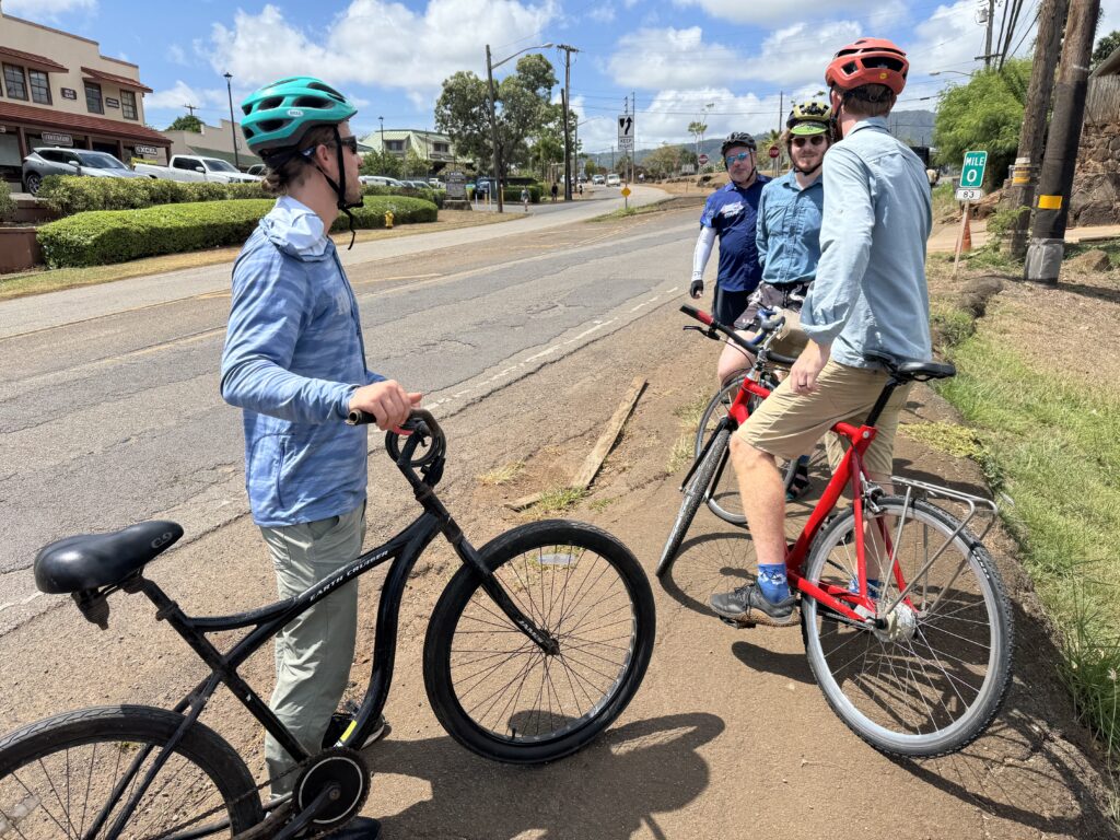
Not all sections of the North Shore Trails have improved pedestrian infrastructure yet. This shoulder of Kamehameha Highway in Haleʻiwa puts pedestrians and cyclists on broken asphalt close to traffic. Apending plan for a Haleʻiwa town parking hubwould include Complete Streets improvements to roads like this, but the need for safer infrastructure is already apparent. During our stop here we witnessed a young mother pushing her baby in a stroller along this narrow roadside.
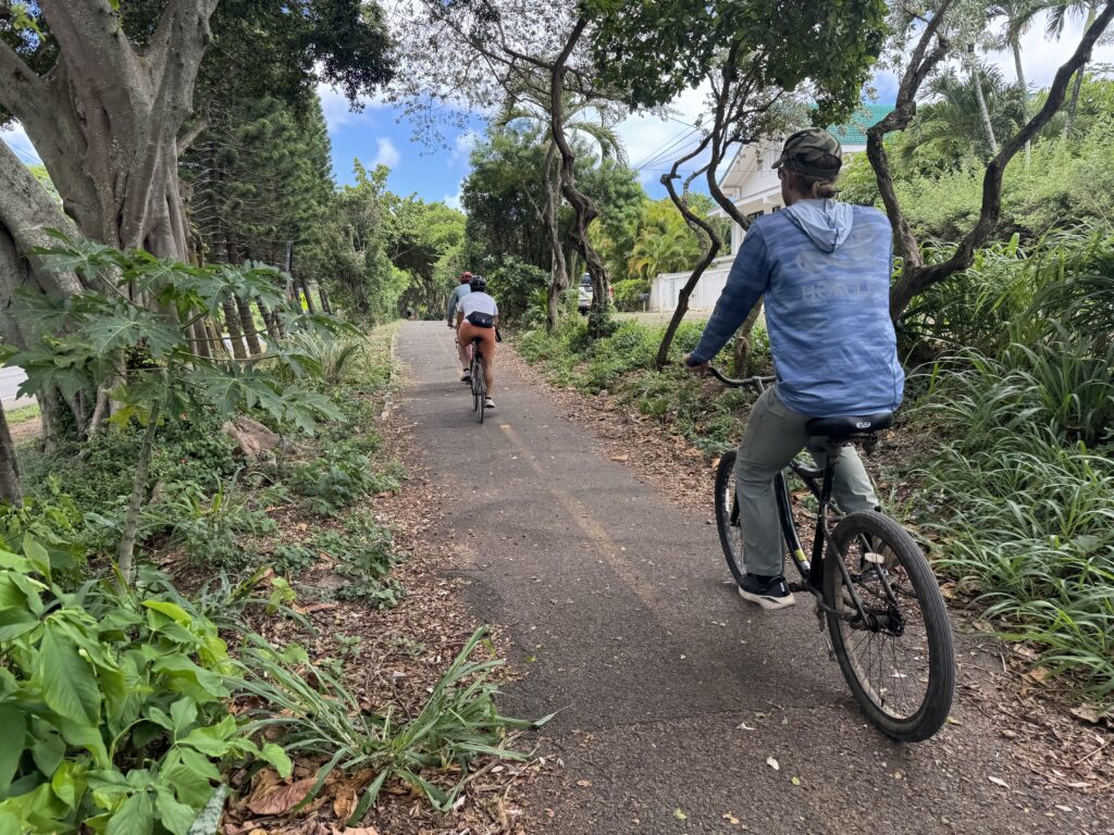
One of the most famous sections of the North Shore Trails, Ke Ala Pūpūkea, is a multi-use trail that runs from Waimea Bay to Sunset Beach. With its separation from the highway, lush foliage, and access to multiple beaches and neighborhoods, it’s easy to see why keiki, surfers, and community members frequently use this path.
Ke Ala Pūpūkea also offers a solution to major vehicle and parking congestion issues at popular North Shore sites in this area like Waimea Bay, Shark’s Cove, Three Tables, and Sunset Beach. The North Shore Trails project hopes to expand this highly-trafficked section of path from Waimea to Kaunala.
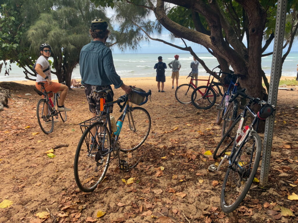
In addition to towns, community hubs, and services, the North Shore Trails grant cyclists and pedestrians easy access to peaceful beaches, shoreline, and nature.
In the months and years ahead, HBL looks forward to forging stronger ties with the individuals and community organizations that share this vision to reduce the negative effects of vehicle traffic and enhance connectivity along the corridor between Kaʻena Point and Kahuku. We welcome you to join us in this endeavor.
Email Eduardo (eduardo@HBL.org) to join the HBL advocacy group, or contact Kaleohano (kaleohano@northshoreland.org) with any ideas, comments, or questions about the North Shore Trails project.