Ride Through History: The Moku and Ahupuaʻa of Oʻahu
Every mile of the Honolulu Century Ride travels through places that have been home to Native Hawaiian communities for centuries. Long before roads and neighborhoods, Oʻahu was carefully organized into land divisions that connected people with the resources they needed to thrive.
As you ride along Oʻahu’s southeastern shoreline, you’re not just experiencing breathtaking scenery—you are traveling through a landscape shaped by generations of ʻike (knowledge), stewardship, and connection to the land.
Understanding Oʻahu’s Traditional Land Divisions
What is a Moku?
A moku is a large traditional land district that divides an island into major regions. Oʻahu was historically divided into six moku, each encompassing numerous communities and natural resources.
Each moku was managed to support the people who lived there, with boundaries often following natural features such as mountain ridges and valleys.
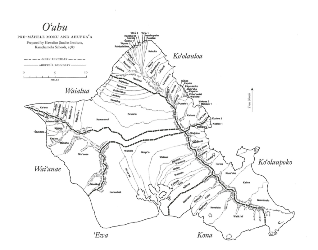
The Honolulu Century Ride begins in the Kona Moku, which stretches across much of southern Oʻahu, before entering the Koʻolaupoko Moku as riders continue around the island’s windward coast, and then the 100 mile turn around just after riders enter the Koʻolauloa Moku.
The other three Moku are Waialua, Wai‘anae, and ‘Ewa. Explore the map below to see O‘ahu’s Moku and Ahupuaa.
What is an Ahupuaʻa?
Within each moku are smaller land divisions called ahupuaʻa.
An ahupuaʻa typically extends from the mountains (mauka) to the sea (makai), creating a self-sustaining system that included forests, streams, agricultural lands, fishponds, and fishing grounds. Rather than dividing land into isolated parcels, the ahupuaʻa connected ecosystems together, allowing communities to responsibly manage and share natural resources.
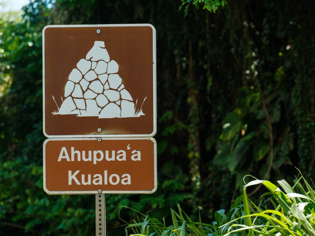
The name “ahupuaʻa” comes from the stone altars (ahu) topped with a carved pig (puaʻa) that often marked the boundaries between districts. You’ll see signs along the road marking when you’re entering a new ahupua‘a.

This system reflected a holistic understanding that the health of the mountains, streams, reefs, and ocean are all interconnected. This is a lesson that continues to influence conservation and land stewardship throughout O‘ahu and all of Hawaiʻi today.
Riding Through Living History
Of the 86 ahupua‘a on O‘ahu, the Honolulu Century Ride passes through 14 ahupuaʻa, each with its own unique history, cultural significance, and natural features. While today’s roads, towns, and neighborhoods have transformed the landscape, these traditional place names remain an important reminder of Oʻahu’s rich heritage.
As you ride, consider the generations of people who traveled these same coastlines long before bicycles and highways. Every community has a story and every ahupuaʻa represents a relationship between people and the land that continues today.
The Ahupuaʻa Along the Honolulu Century Ride
As riders travel from Kapiʻolani Park to Swanzy Beach Park and back, they pass through the following ahupuaʻa:
- Waikīkī
- Waimānalo
- Kailua
- Kaneʻohe
- Heʻeia
- Kahaluʻu
- Waihe‘e
- Ka‘alaea
- Waiahole
- Waikane
- Hakipu‘u
- Kualoa 1
- Kualoa 2
- Ka‘a‘awa
Each of these places has its own history, cultural traditions, and relationship to the surrounding land and ocean. We invite you to learn more about each ahupuaʻa below as you explore the route and discover the stories that make the Honolulu Century Ride unlike any other cycling event in the world.